 vesseltracker.com
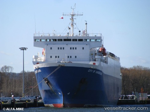
Vessel 'HAJH AMINA' IMO: 9046356, MMSI: 671215100
UTC, -23.94412, -45.50149, course: 318, speed: 0.1
UTC, -23.94410, -45.50035, course: 331, speed: 0.2
2026-01-30 23:25:48 UTC, -23.94439, -45.50077, course: 16, speed: 0.3
Live AIS position:
UTC. 10 nm SW of Barrosso Terminal),
updated 2026-01-30 23:25:48 UTC.
Find the position of the vessel 'HAJH AMINA' on the map. The latter are known coordinates and path.
marine traffic ship tracker show on live map
The current position of vessel 'HAJH AMINA' is -23.94439 lat / -45.50077 lng. Updated: 2026-01-30 23:25:48 UTCDetails:
Last coordinates of the vessel:
UTC, -23.94394, -45.50106, course: 256, speed: 0.3UTC, -23.94412, -45.50149, course: 318, speed: 0.1
UTC, -23.94410, -45.50035, course: 331, speed: 0.2
2026-01-30 23:25:48 UTC, -23.94439, -45.50077, course: 16, speed: 0.3